Landscape, Ecology
& Biodiversity
Landscape, Ecology
& Biodiversity
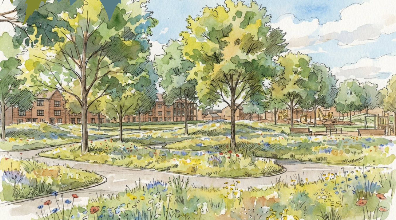
Indicative view showing meadow planting in Park
Sustainable Drainage
The Environment Agency Flood Risk Zone map identifies the site as being within Flood Risk Zone 1, indicating a low probability of flooding (less than 0.1%, or a 1 in 1,000 year event), where residential development is acceptable. The site is also assessed as being at low risk of flooding from other sources, including surface water, sewer, and groundwater flooding.
The proposed drainage strategy will replicate existing drainage conditions while incorporating allowances for climate change, thereby minimising flood risk to both the site and surrounding areas. A sustainable surface water drainage strategy will be submitted in support of the planning application.
At present the site has limited ecological value. The proposals will deliver the following key landscape and ecological benefits, and enhance the existing ecology:
• A biodiversity net gain within the site.
• Enhancement of retained trees and existing vegetation.
• Creation of new habitats through native planting, additional trees, gardens, and bird and bat boxes.
• Strengthening and active management of site boundaries and hedgerows to form wildlife corridors and provide visual screening.
• Green streets with integrated native planting and rain gardens to manage surface water naturally.
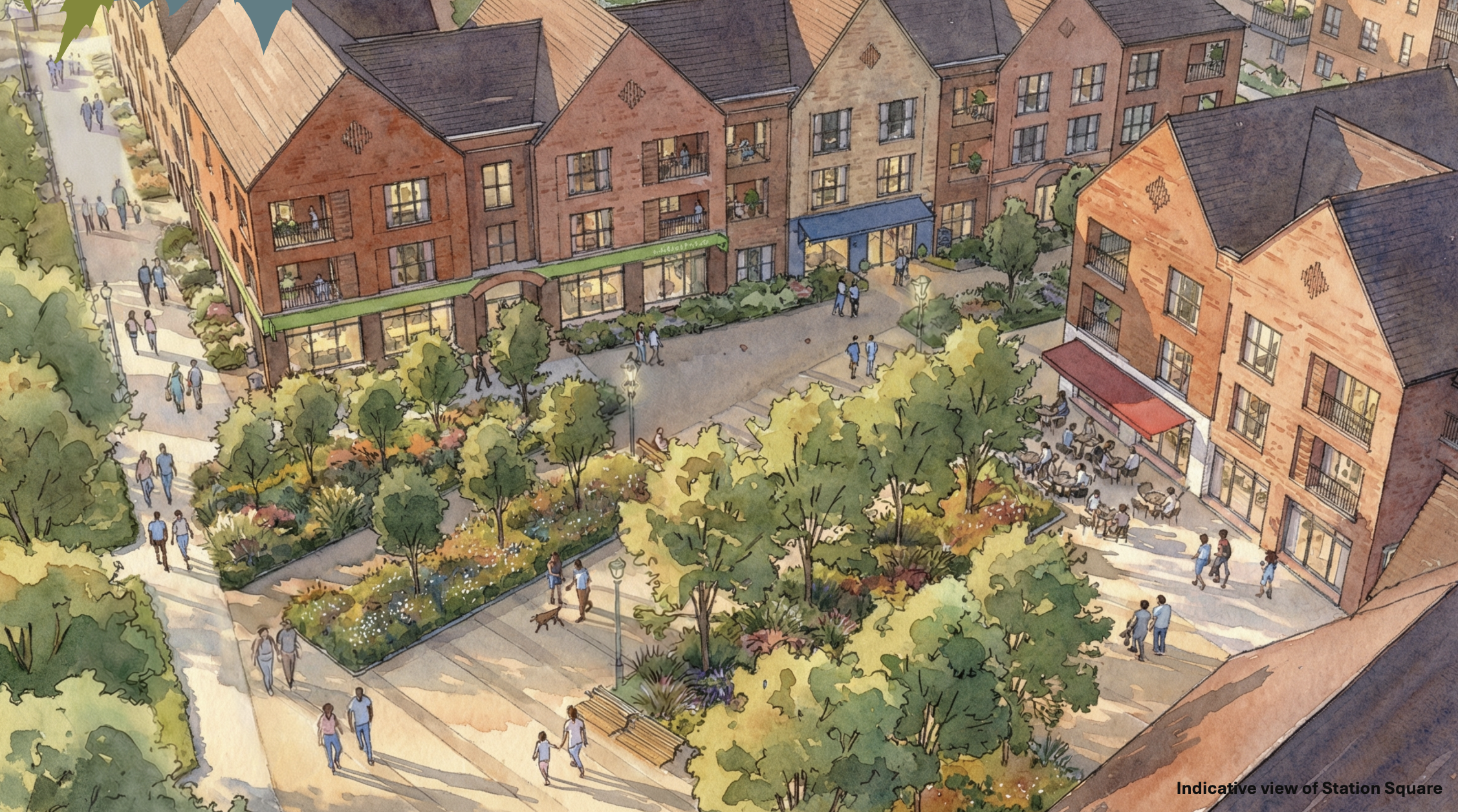
• A large public park delivering new habitats alongside recreational and visual amenities.
A Tree Survey and Ecological Appraisal has informed the proposal which have confirmed that the site has limited existing ecological value.
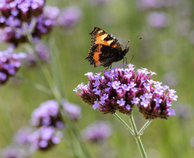
Planting to encourage butterflies and other insects
-
![A wooden pathway extending into a lush, green field filled with daisies and various wildflowers, under bright sunlight.]()
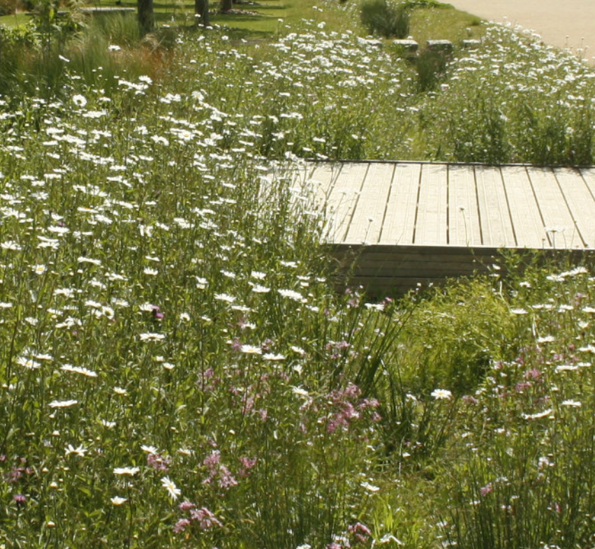
Sustainable planting to raingardens
-
![Two honeybees collecting nectar from a pink flower.]()
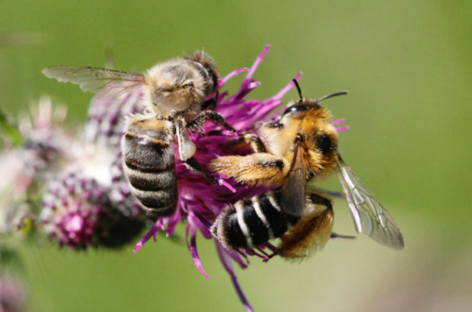
Bee friendly planting
-
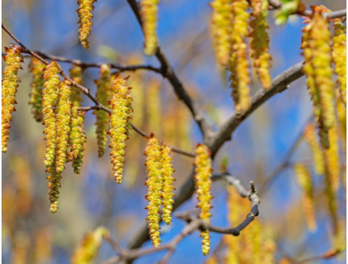
![Close-up of yellow catkins hanging from tree branches against a blue sky.]()
Native tree species
-
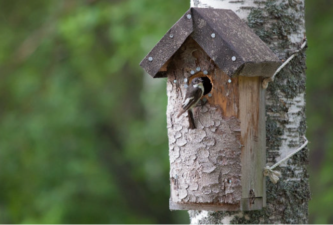
![Birdhouse mounted on a tree with weathered wood and a small bird peeking out of the entrance hole.]()
Species specific bird boxes
-
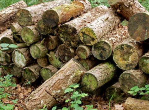
![Stacked logs of cut wood in a forest setting with moss and small plants.]()
Bug habitats
-
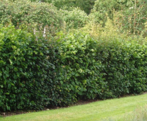
![A row of green shrubbery in front of a grassy lawn with trees in the background.]()
Enhanced hedgerows
-
![]()
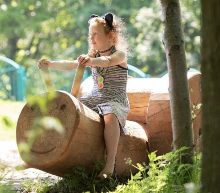
Play will be positioned along the streets
Submit your feedback
We kindly ask that all comments are received by 10th March 2026.